A place you must visit when visiting Switzerland!
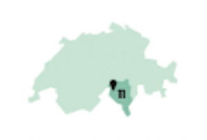
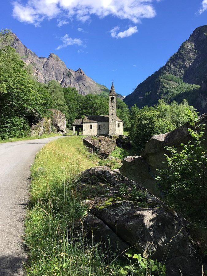
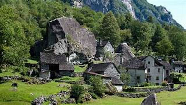
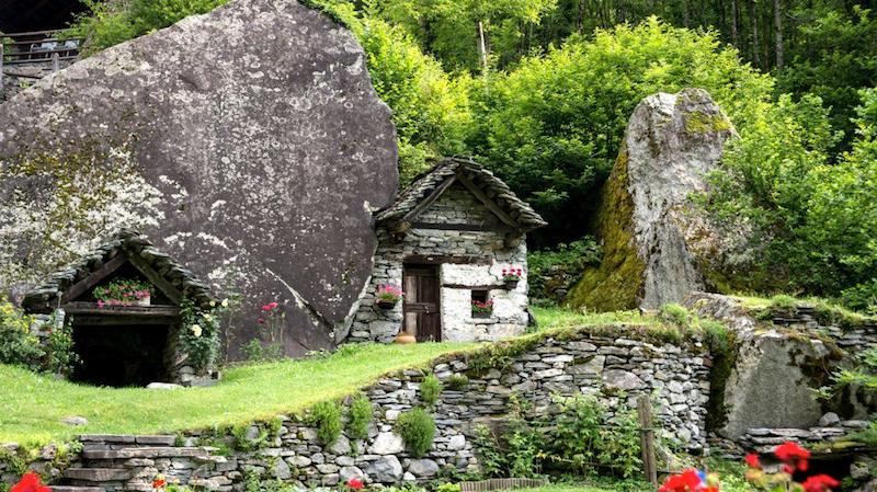
The Bavona Valley, in the Canton of Tessin, Switzerland, is a side valley of the Maggia Valley and is considered the steepest rockiest, and most unusual valley in the entire Alpine region. The slopes that encircle it rise several hundred meters in height and were sculpted by the glaciers millions of years ago that once covered the region. The Bavona Valley is known in Switzerland for its rock houses. These are not buildings made of wood or stone the traditional way, but caves and grottos that were merely buildout by human hands. The rooms consist of solid rock walls, as do the ceilings.
People used these caves as shelters for themselves and their animals: living quarters, cellars, and stables were built under the huge slabs of rock left behind by the glaciers. Until a few decades ago, alpine shepherds lived in these cave dwellings.
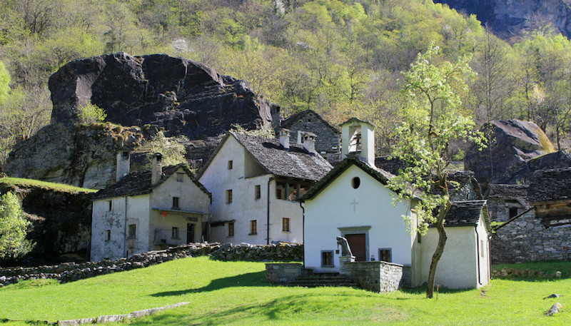
The Bavona Valley
joins the Maggia Valley at Bignasco . The Bavona flows through the valley. It rises around 560 meters over a length of 12 kilometers.
The valley is a narrow U-shaped glacial trough valley. The many boulders and stones that litter the valley floor date from the time when the glaciers retreated and from landslides such as that of 1594 at Fontana.
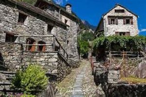
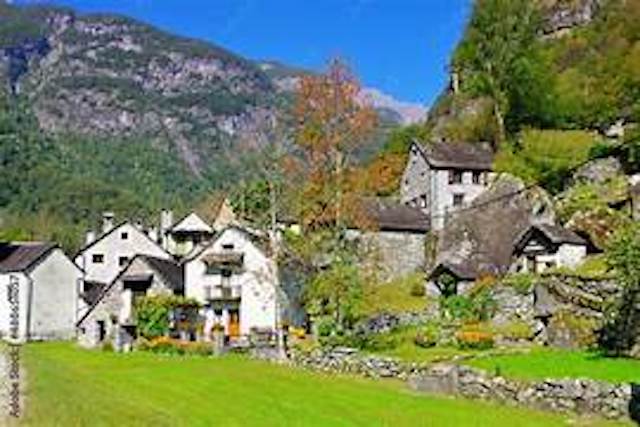
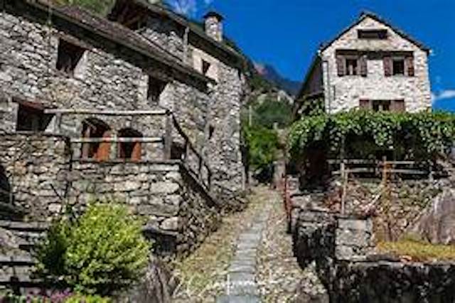
There are twelve hamlets (Terre) on the valley floor, whose inhabitants were called Terrieri. Because there were no roads until 1950 and the intentionally non-existent electricity today, the uniform townscape with the traditional stone houses (so-called rustici ) has been preserved, even if the latter have sometimes lost their original character somewhat through additional decorations such as geraniums and wagon wheels. Electricity connections are forbidden in the valley for reasons of traditional protection, even if this ban is circumvented again and again by the residents in a variety of ways (generators, small turbines, solar cells, car batteries).
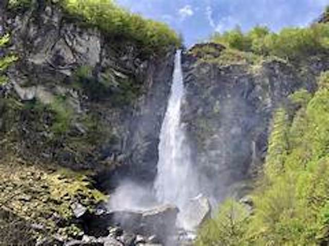
The hamlets are called – from south to north – Mondada, Fontana, Alnedo, Sabbione, Ritorto, Foroglio, Roseto, Fontanelada, Faèd, Bolla, Sonlerto and San Carlo (Val Bavona). [1] The best-known is Foroglio with the Calnègia waterfall, which, with a height of 108 m, is one of the highest in Ticino. [2] Except for San Carlo, the last village in the valley, which belonged to Bignasco, all were part of Cavergno. Together with these two formerly independent municipalities, the whole valley became part of the Municipality of Cevio in 2006. From San Carlo a cable car goes up to the Robiei reservoir of the Maggia power plants, the starting point for tours to the Basòdinoor to the Cristallina hut.
History
The valley was abandoned around 1500 because of the harsher climate. At the bottom of the valley are the ruins of the village of Prèsa di San Carlo . The inhabitants settled in Cavergno or Bignasco and in the spring they moved back into the valley with their animals to the various altitude levels (tiered economy or transhumance ), where they owned dwellings and stables. In order to cultivate the scarce meadows – seventy percent of the area is unproductive – steep stairways were built in higher areas and hanging meadows (prati pensili) were laid out on large boulders. Stables, cellars, and shelters (splüi) were set up under large fallen boulders.
How to get there
Val Bavona can be reached from Locarno by car or bus in about an hour.
From Bignasco, in good conditions, you can take the 41 km long regional long-distance hiking trail Sentiero Cristallina (signposted as hiking route no. 59) via the Cristallina hut in three stages to Airolo in the Bedretto valley.
The section from Mondada to Foroglio ( Percorso della Transumanza ) is designed as a themed trail with information boards about transhumance .
